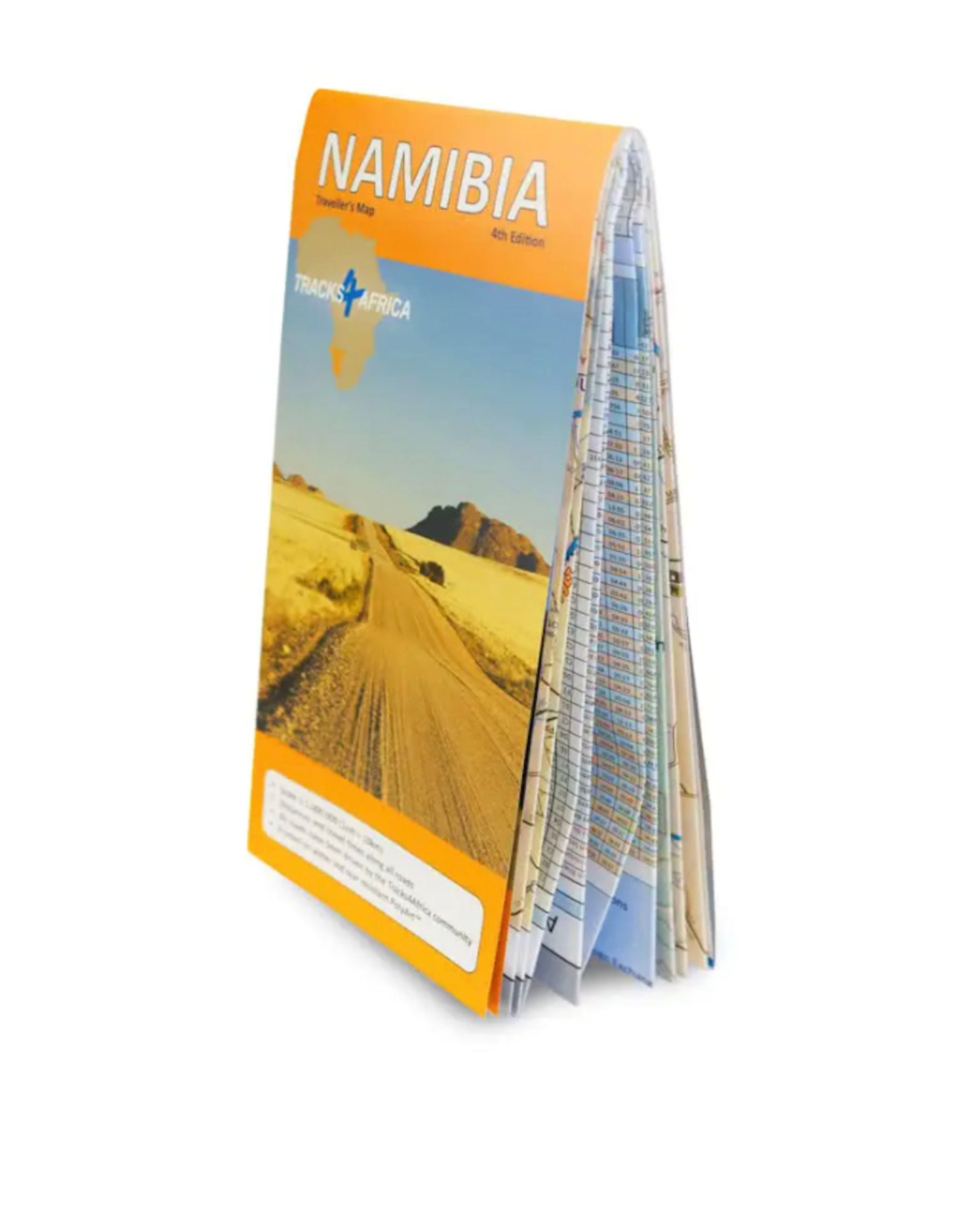
Tracks4Africa Namibia Traveller's Paper Map - 4th Edition


Couldn't load pickup availability
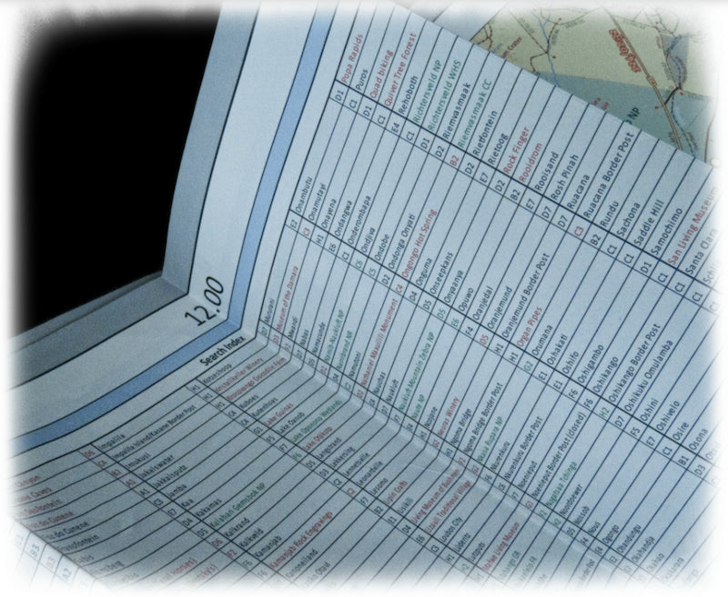
This latest Fourth Edition Tracks4Africa (T4A) Namibia paper map is the largest available Namibia map - at 1:1,000,000 scale it offers you the perfect trip planning tool for your next Namibian holiday.
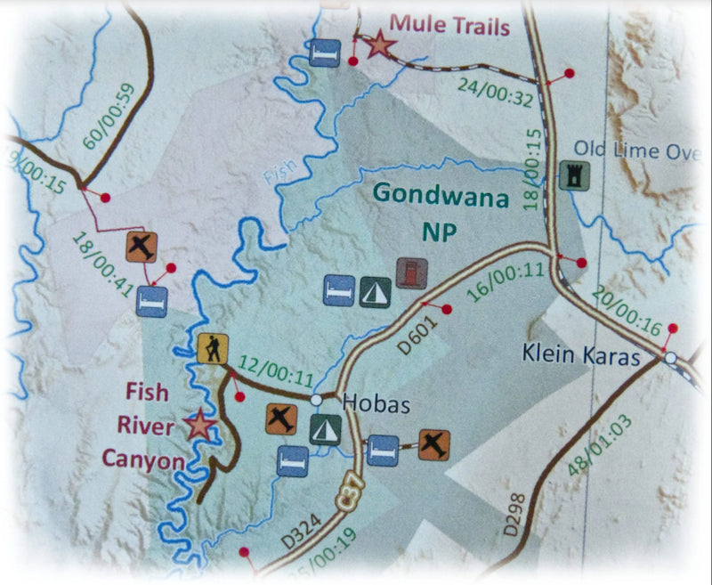
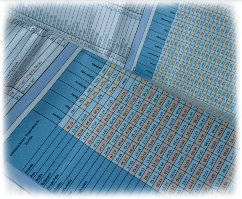
The Tracks4Africa paper series are probably the first comprehensive country maps in the world, offering travel time information for the entire road network, whether they’re on tar, gravel, or sand.
- Large 1:1,000,000 scale.
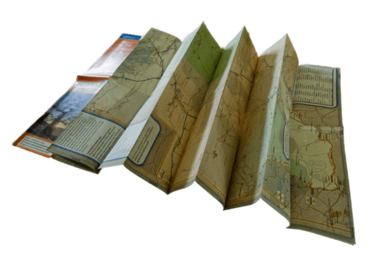
- Double-sided map folds down to easy-to-use size.
- Travel times and distances shown on roads.
- Packed in a plastic sleeve for extra protection.
- Paper map an exact match with T4A GPS maps.
- Comprehensive set of roads and tracks in nature reserves.
- Designed to suit the needs of self-drive travellers.
- Border crossings indicated with opening and closing times.
- Printed on tear and water resistant PolyArt paper suitable for outdoor use.
- Shaded relief background to accentuate mountains and other topographical features.
- Kaokoland in great detail with all off-road tracks shown.
- Detailed maps for Swakopmund and Windhoek.
- Each town is shown with up-to-date tourist services information.
The roads, tracks, places of interest, distance data, and travel time estimates on the map reflect the collective travel experiences of the Tracks4Africa community of travelers over the past ten years. Every road has been GPS recorded and verified by this community.
T4A maps offer the most comprehensive coverage of tourist destinations in Namibia. Use T4A GPS Maps to navigate to all destinations on this country map.
144 g (5.1 oz)